 Follow Us on Google
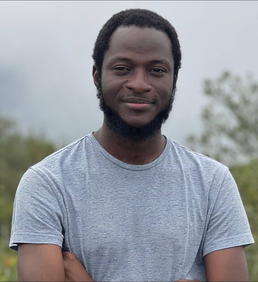
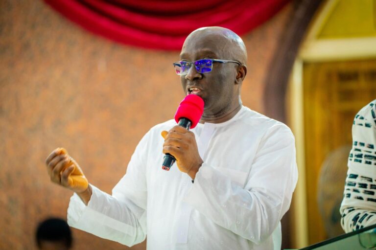
Amid the ravaging floods that have caused widespread destruction across Lagos and other parts of the country, Ibrahim Isiaka, a PhD researcher in the Department of Geosciences at Virginia Tech, has warned that more devastating flooding could occur in the coming years if authorities fail to adopt research-backed planning, strengthen flood mitigation measures and integrate scientific findings into urban development.
According to Isiaka, the recent flooding was not entirely unexpected, as he and his colleagues had predicted the vulnerability of several affected communities in a study published in 2023.
He explained that the research identified many of the areas inundated during the June 28-30, 2026 downpour as high-risk flood zones, stressing that the findings should have served as an early warning for policymakers and urban planners.
The study, titled Flood Susceptibility Assessment of Lagos State and published in the International Journal of Environment and Geoinformatics, assessed flood risks across Lagos using historical flood records and multiple environmental indicators.
It found that 12.5 per cent of the state falls within a very high flood susceptibility zone, while another 28.9 per cent is classified as highly susceptible, particularly low-lying coastal communities in Epe, Ibeju-Lekki, Amuwo-Odofin, Ojo and Kosofe.
Lekki, one of the worst-hit areas during the recent flooding, lies adjacent to Ibeju-Lekki, one of the locations highlighted in the study.
Isiaka noted that although the study did not predict the exact timing of the June 2026 floods, it accurately identified long-term flood threat patterns that have now been validated by recent events.
He added that the findings also align with the Lagos State Government’s flood advisory, which was based on the Nigeria Hydrological Services Agency’s 2026 outlook naming Lagos among the country’s 33 high flood-risk states.
Explaining how the study was conducted, Isiaka said the research combined 10 flood-causing factors, including elevation, slope, rainfall, soil type, drainage, land cover, curvature and vegetation index, with 100 historical flood points recorded between 2001 and 2022.
He said the resulting susceptibility map was validated to an acceptable level of accuracy and revealed that 12.5 per cent of Lagos falls within the very-high flood susceptibility category, while 28.9 per cent is classified as highly susceptible, with the greatest concentration of risk found in low-lying coastal and lagoon-adjacent communities.
“Our approach differed from many previous flood susceptibility studies because, instead of relying primarily on expert judgement to assign weights to factors such as elevation or drainage density, we used the frequency ratio model, which allows the historical flood data itself to determine how much influence each factor has,” Isiaka explained.
“Essentially, the model asks a simple question: of all the places that have flooded historically, how many fall within a particular elevation, slope class or soil type? Factors that consistently correspond with historical flooding are assigned greater weight.
That empirical approach is why the model could be statistically validated and why the overlap between our findings and the recent flooding is significant rather than coincidental.”
However, the researcher acknowledged an important limitation in the study.
According to him, while the model successfully identifies flood-prone areas, it does not distinguish between different causes of flooding.
“Pluvial flooding caused by overwhelmed drainage systems behaves differently from fluvial flooding caused by overflowing rivers.
Coastal flooding driven by tidal surges is another process entirely, while land subsidence lowers ground levels and increases vulnerability to all the others,” he said.
“Lagos sits at an average elevation of just 1.5 metres above sea level, with documented land subsidence of up to 4 millimetres per year, rising to more than 6 millimetres annually along parts of the coastline. A single flood susceptibility map cannot determine whether a community primarily needs improved drainage infrastructure, coastal protection or interventions to address land subsidence.”
Isiaka argued that separating these drivers of flooding should now become the next phase of flood risk research in Nigeria.
He said advances in satellite technology have made such work increasingly feasible because Earth observation data from Sentinel-1, Sentinel-2, Landsat and freely available digital elevation models can now be accessed without expensive commercial acquisition.
To demonstrate this, Isiaka referenced another study he co-authored in 2023, which used Sentinel-1 radar imagery to assess flooding in Koton Karfe, Kogi State, following the 2022 release of water from the Lagdo Dam.
“The radar data enabled us to estimate approximately 198 square kilometres of peak flood inundation, while more than 133 square kilometres of urban land cover were lost during the disaster,” he said.
“The major challenge facing Nigeria today is no longer access to quality satellite data. The real obstacle is sustained funding and institutional commitment to convert scientific findings into practical planning and policy.”
He recommended that Lagos State formally incorporate the high-susceptibility zones identified in the 2023 study into its physical development plans and building permit approval process, with stricter regulations on construction elevations, drainage requirements and setback distances.
He also called for drainage investments to be prioritised according to flood susceptibility rankings, particularly in local government areas identified by both the 2023 research and the Federal Government’s 2026 flood outlook.
Isiaka further advocated stronger protection of wetlands to prevent indiscriminate sand-filling, noting that wetlands serve as natural flood buffers.
He added that combining flood susceptibility mapping with InSAR ground deformation monitoring, made possible through freely available Sentinel-1 data, would enable authorities to identify vulnerable communities that are also sinking most rapidly.
The researcher further urged government agencies to support more detailed studies separating pluvial, fluvial, coastal and subsidence-related flooding at the local government level to ensure investments target the actual causes of flooding in each community.
He also proposed a permanent data-sharing framework involving the Lagos State Ministry of Environment, the Nigeria Hydrological Services Agency (NIHSA), the National Emergency Management Agency (NEMA) and universities, allowing flood maps to be updated before every rainy season rather than remaining unused after publication.
Isiaka disclosed that his team also identified an error in the original 2023 publication.
According to him, Table 3 of the paper contained a pixel-area conversion error that inflated area estimates by 1,000 times.
He clarified that the corrected figures are approximately 404.5 square kilometres for very low susceptibility, 763.5 square kilometres for low susceptibility, 869.4 square kilometres for moderate susceptibility, 1,006.1 square kilometres for high susceptibility and 436.3 square kilometres for very high susceptibility, adding that while the area values were corrected, the percentages reported in the study remained unchanged because they were calculated correctly.
Isiaka maintained that addressing Nigeria’s growing flood challenge does not require starting afresh.
“The science already exists,” he said.
“What is needed now is the institutional will to use research that is already available. The flooding witnessed over the last three years has only strengthened the evidence that these risk patterns are real and that proactive planning can no longer be delayed.”