Follow Us on Google
By Philip Nwosu
Nigeria has taken a major step in enhancing maritime safety and port development with the deployment of newly produced Electronic Navigational Charts (ENCs) covering the Calabar–Bakassi corridor, opening safer access to Calabar Port and the proposed Bakassi Deep Seaport.
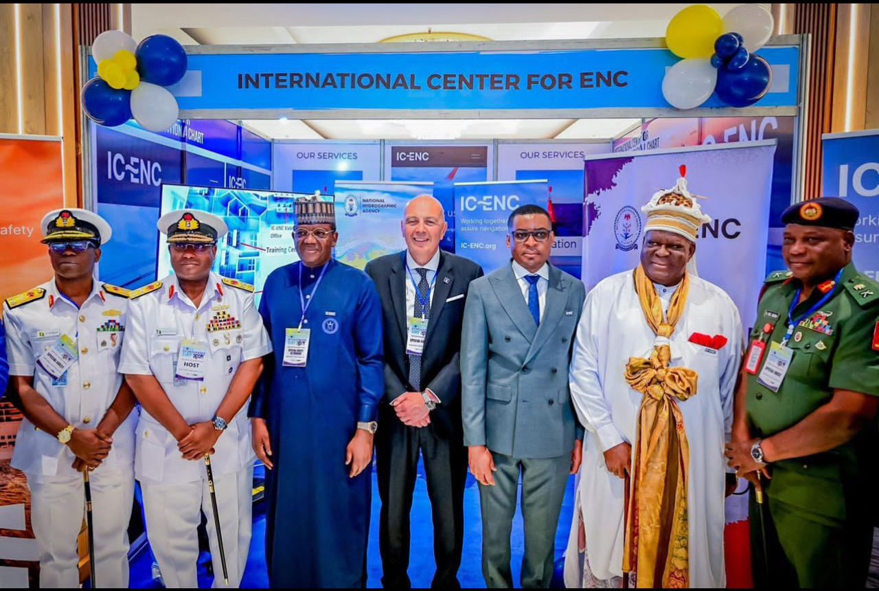
The National Hydrographic Agency (NHA) announced that three ENC cells produced by Nigeria have been successfully validated and released by the International Centre for Electronic Navigational Charts (IC-ENC). The charts include NG455150 (Jamestown), NG525190 (Queenstown to Ikot Abasi) and NG542550 (Ports of Calabar).
Following their release, vessels navigating Nigeria’s eastern coastal approaches up to the inner port limits are required to use the Nigerian-produced ENCs. The digital charts provide mariners with up-to-date information on water depths, seabed features, navigational hazards, aids to navigation and port infrastructure, ensuring safer passage into Calabar Port and the future Bakassi Deep Seaport.
The ENCs were generated from a recent high-resolution hydrographic survey of the Calabar–Bakassi axis conducted to international standards comparable to the International Hydrographic Organization (IHO) S-44 Order 1 for busy approaches and harbour entrances. The survey formally began on 21 December 2024, with intensive data acquisition commencing on 6 January 2025. It combined hydrographic, geophysical and geotechnical measurements using advanced NHA survey and processing capabilities.
Other News
Speaking on the development, the Hydrographer of the Federation and Chief Executive Officer of the NHA, Rear Admiral Ayo Olugbode, said effective mapping of the maritime domain is essential for safety, management and economic development.
“The sea is our largest unexplored resource, and if we don’t map it, we can’t manage it,” Olugbode said, noting that the production of accurate navigational charts enhances safety and supports the sustainable development of Nigeria’s blue economy.
He added that chart production for Lagos, Calabar and the Bonny axis is part of the NHA’s phased national mapping strategy, reflecting the strategic importance of these areas. According to him, more than 85,325 square kilometres of Nigeria’s maritime domain have been mapped so far, with the Calabar sector identified as a critical link in a wider ENC network aimed at reducing navigational risks for vessels calling at Nigerian ports.
The newly released ENCs replace outdated legacy charts with modern digital products integrated into global ENC systems, providing mariners with reliable and current navigational information. The initiative aligns with President Bola Ahmed Tinubu’s Renewed Hope Agenda, reinforces Nigeria’s position as a regional hydrographic leader and directly supports operations at Calabar Port and the development of the Bakassi Deep Seaport.